As industries around the world work to make their process and products not only automated but autonomous, there has been an explosion in the use of Detection and Ranging systems over the last 20 years. Detection and Ranging systems date back to RADAR systems that were developed during World War II. RADAR stands for Radio Detection and Ranging. More modern systems have been developed around light sources, leading to Laser Radar, LIght Detection and Ranging (LIDAR), and Laser Detection and Ranging (LADAR) systems. On the surface, all of these systems are based off of similar philosophies, and articles often tend to group them together. But, LIDAR, Laser Radar, and LADAR actually have some very significant differences in technology that affect the applications they are suited for. So, we wanted to take a deep dive on these terms and identify how detection and ranging systems for and how they differentiate from each other.
Detection and ranging systems are all based on the same technique of sending a wavelength out into space and using the information of where it bounces off of surfaces to create a map of the surrounding area, similar to how bats use echo location to “see” the area around them without processing visible light. RADAR systems use radio waves to detect the space around them, which have the advantage of being able to go through walls, but the longer microwave frequencies have lower resolution and slower measurement speeds.

LIDAR, Laser Radar, and LADAR all use frequencies from light wavelengths (both visible and invisible to the human eye) to map their surrounding areas. Light waves have higher resolutions than radio waves, which allow for much higher accuracies in the maps they create. But they are more impacted by environmental objects and weather conditions. These technologies operate under a similar principle to laser tracking, but their measurements do not require a target to return the beam to the unit to read positional geometry.
Even though LIDAR, Laser Radar, and LADAR are all based off of the same principle, how they measure and the applications they are appropriate for have some very significant distinctions.
LIDAR has become a catch-all term for all light-based non-contact metrology instruments, but in practice LIDAR measurement devices have developed to handle high-volume scans of large areas. They typically send out multiple laser beams in a grid or cone style and use constant motion to cover millions of points very quickly, with accuracies ranging from tenths of an inch to more than a foot depending on the application. LIDAR technology has become commonplace in land surveying and mapping, building information modeling, and guidance systems for self-driving cars.

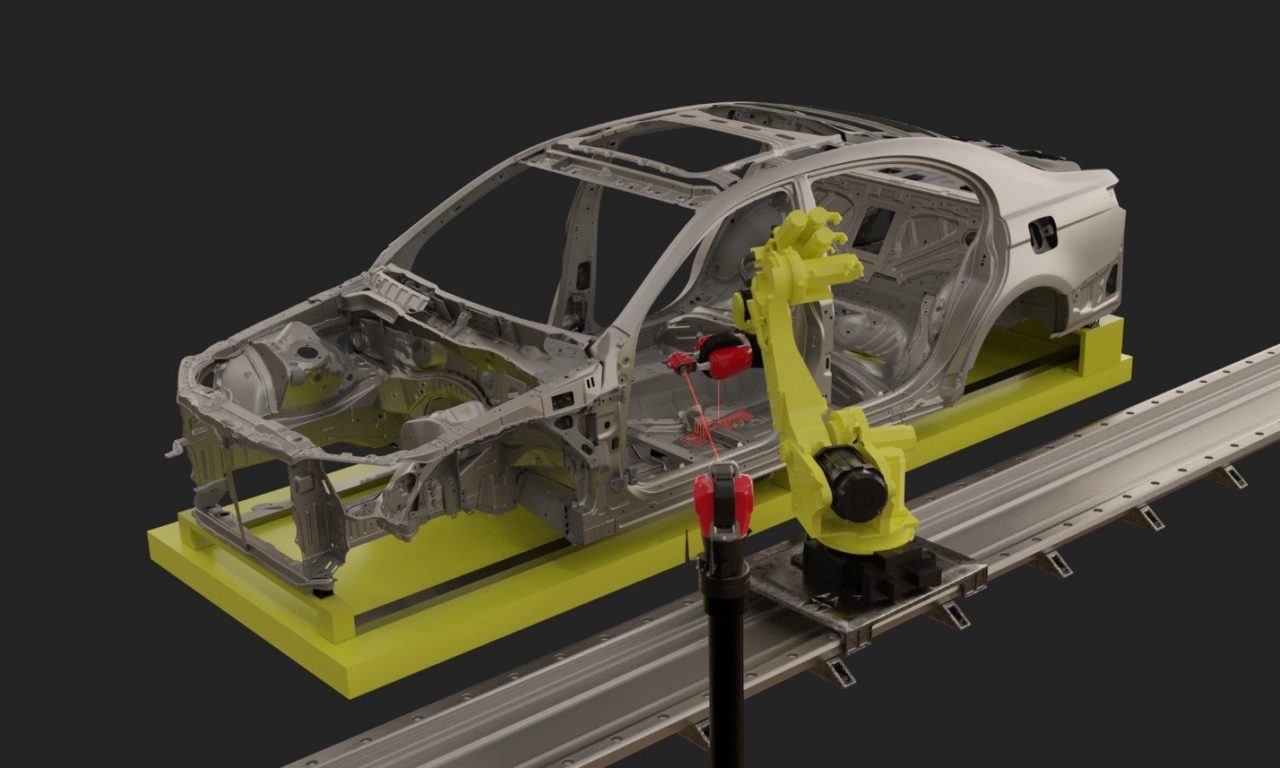
Laser Radar, on the other hand, has developed to more closely replicate Laser Tracker measurements in a non-contact fashion. Laser Radar units typically send out a single, focused laser beam to measure features within a few meters of the unit at accuracies within a handful of microns. Laser Radar technology has been integrated into manufacturing environments in industries around the world for more automated scanning solutions that can be robot-mounted for near-line inspections.
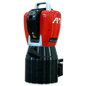
But for truly automated inspection solutions in manufacturing, including fully in-line measurements, LIDAR lacks the accuracy and Laser Radar lacks the speed and efficiency of measurement. LADAR, however, is designed to be the marriage of these two technologies. A true LADAR system, like API’s new Dynamic 9D LADAR, can use a chirped interferometer laser to provide greater part coverage without sacrificing any accuracy. LADAR systems can be used in all Laser Radar applications, while adding the speed necessary to perform in-line quality inspections for body-in-white or fuselage assembly.
In short, detection and ranging systems use different frequencies of wavelength sent out into space to map an area based on how long it takes the wave to bounce off an obstacle. LIDAR, Laser Radar, and LADAR technologies all use light frequencies to take these kinds of measurements. But while the principal technology is the same, the practical designs and applications have led to very different uses. LIDAR utilizes more of a grid or cone of laser beams to increase coverage and data collection at longer distances with lower accuracies. Laser Radar systems have sacrificed the speed of LiDAR for increased accuracy with a single, focused beam. But a true LADAR system, like API’s Dynamic 9D LADAR is able to combine that speed and accuracy for more efficient measurement.
This content was originally published on the API Metrology website.

